Photography

Anafiotika/Τα Αναφιώτικα

The coolest cat in the neighbourhood.

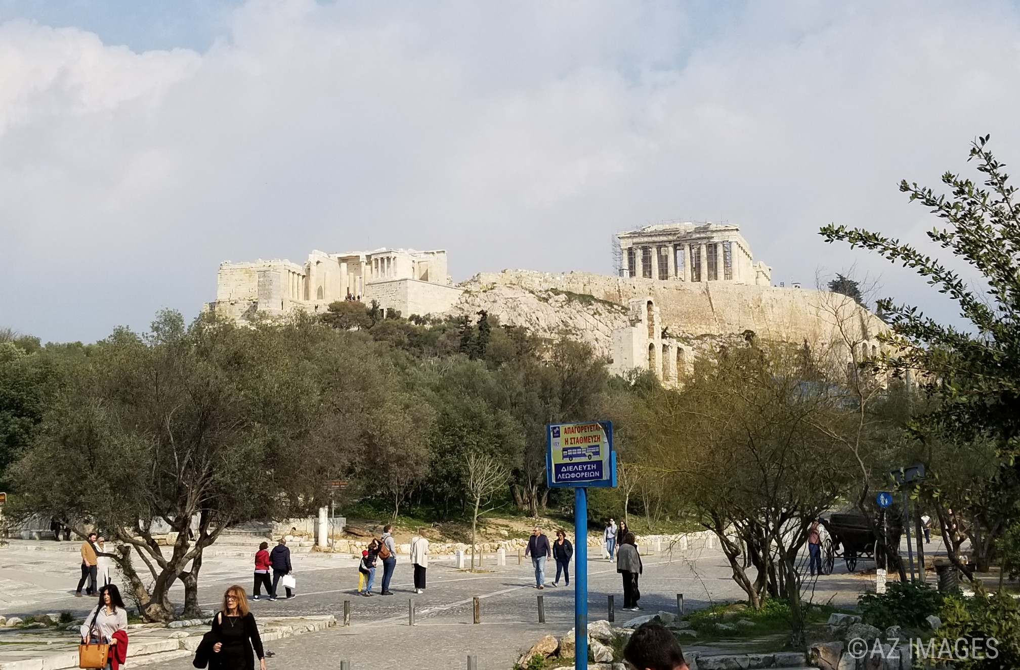
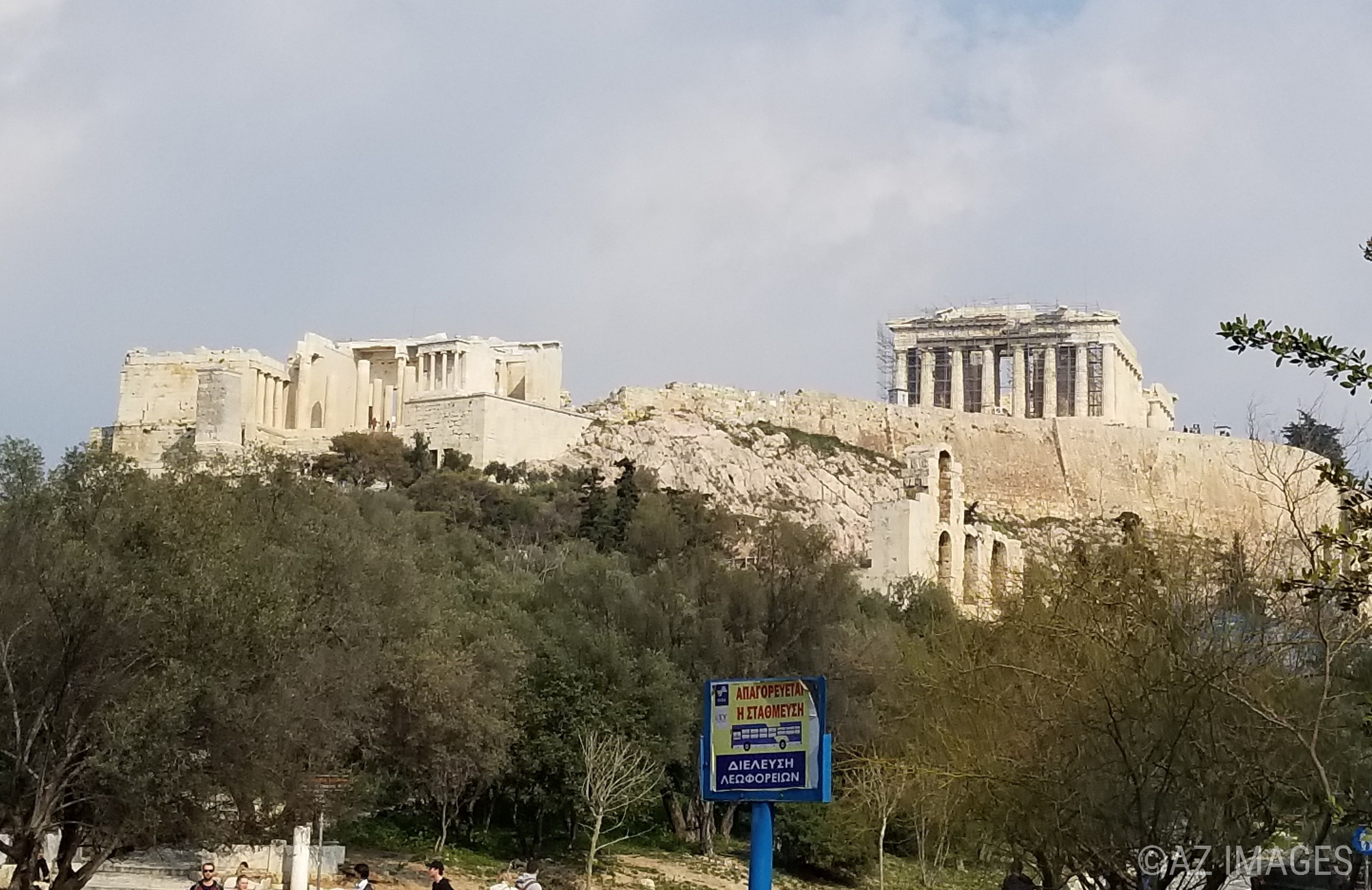
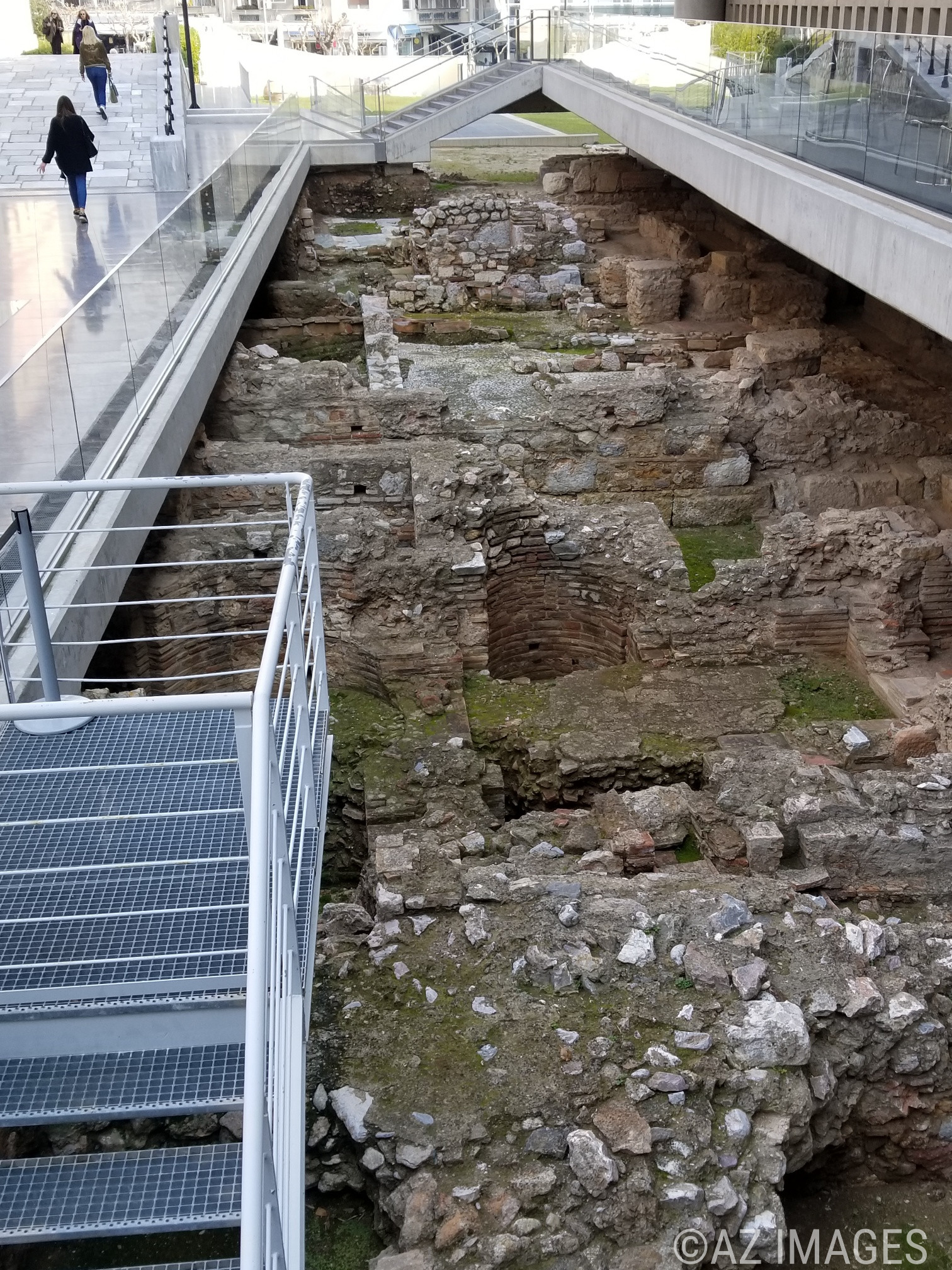
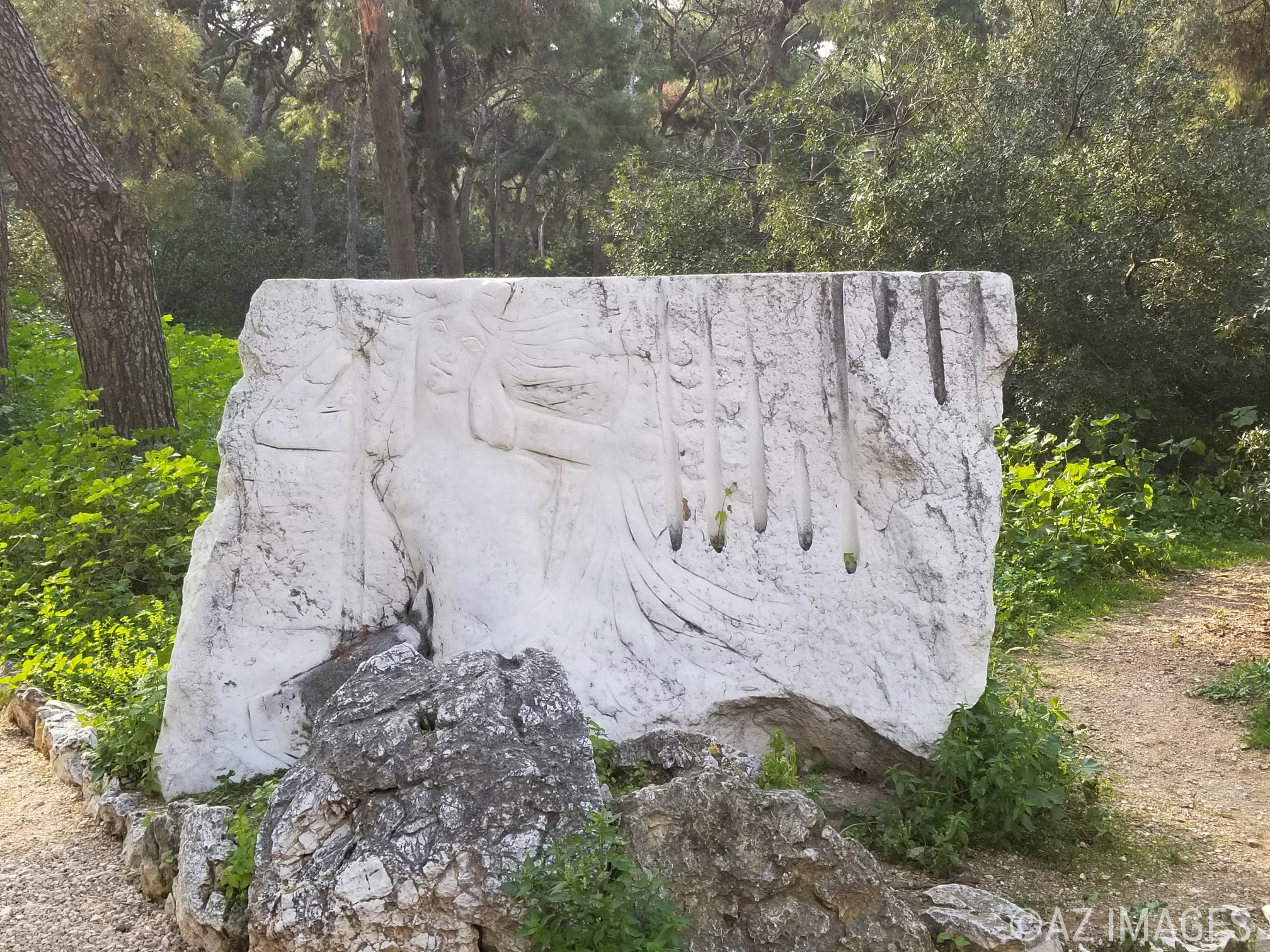
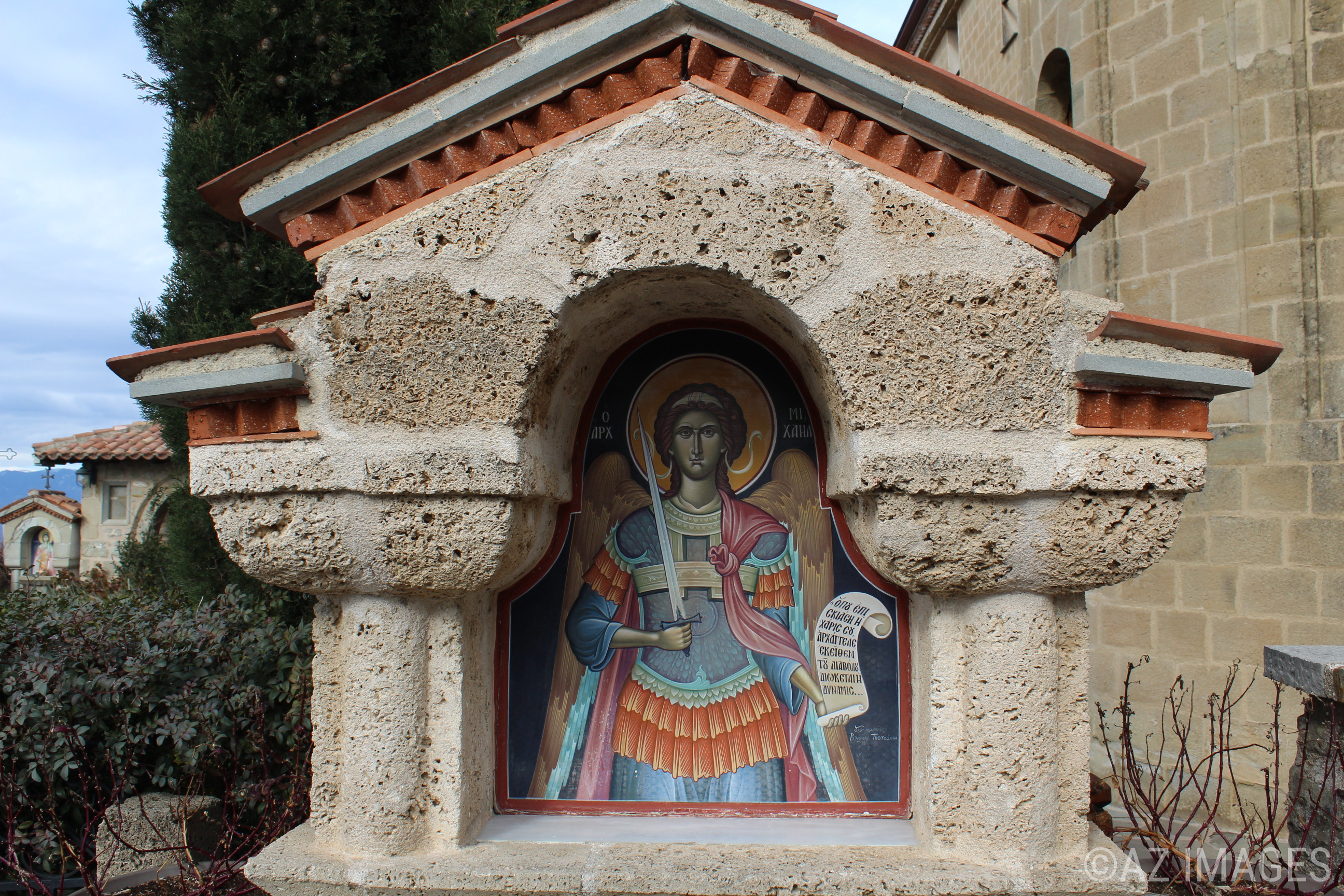
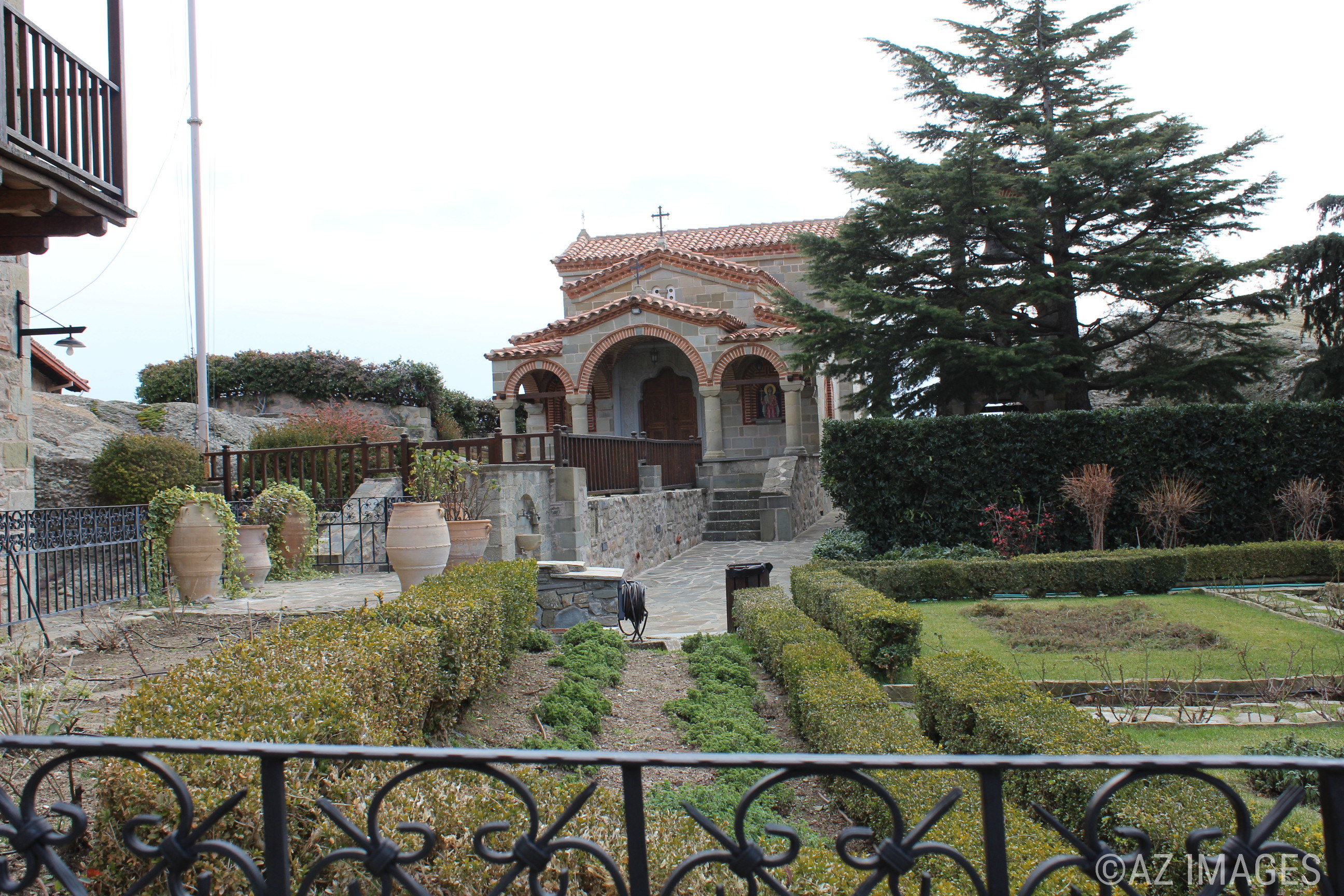
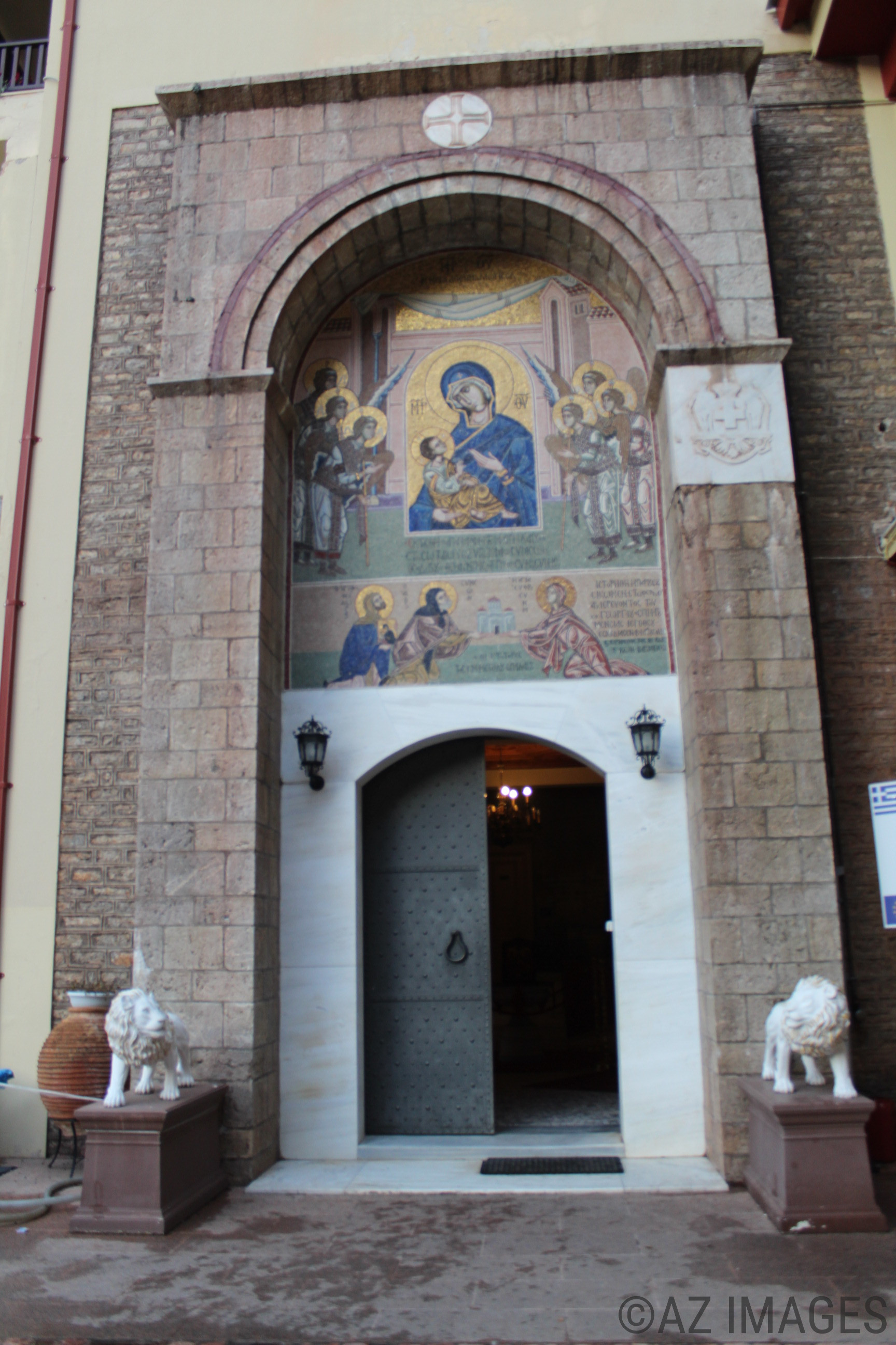
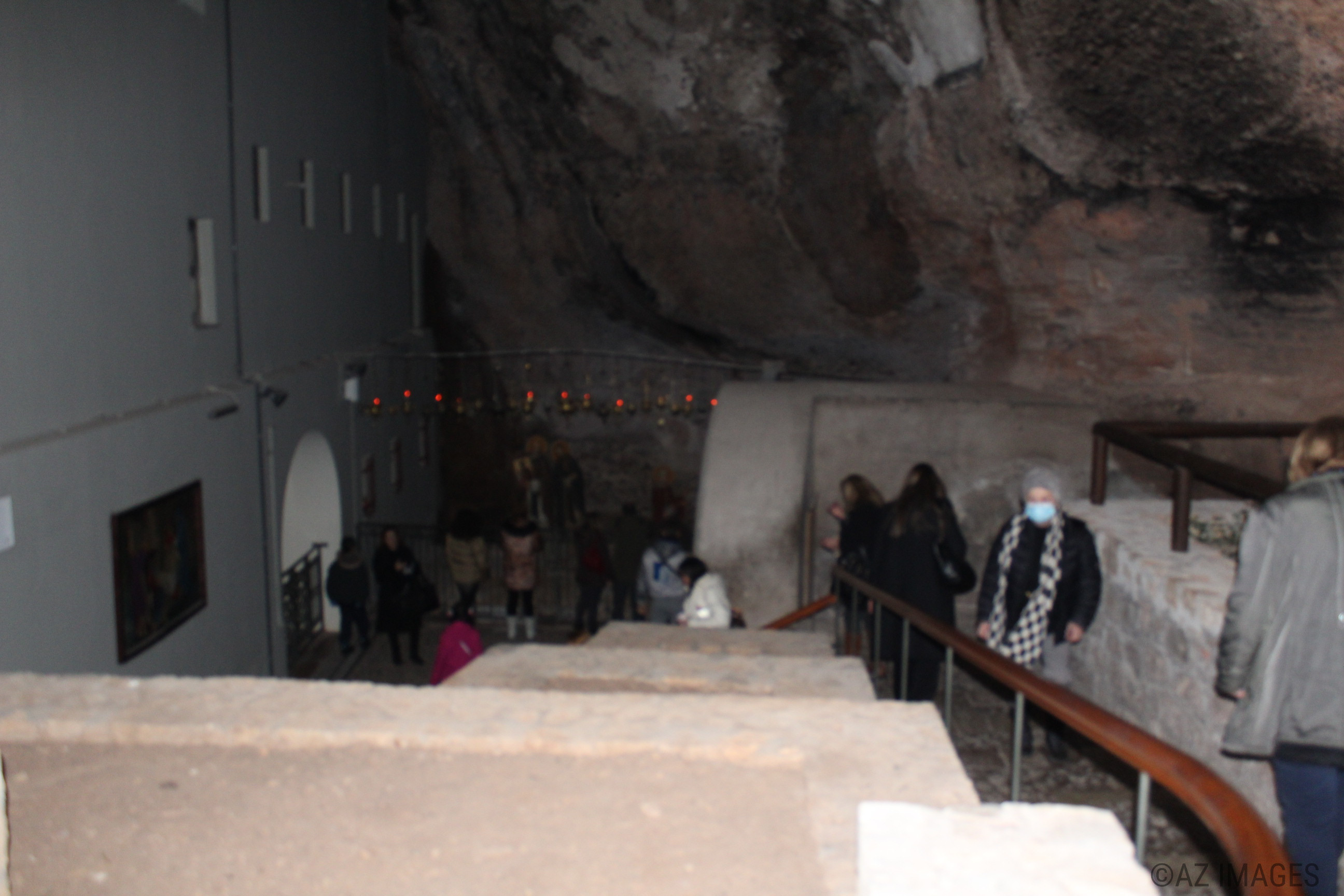
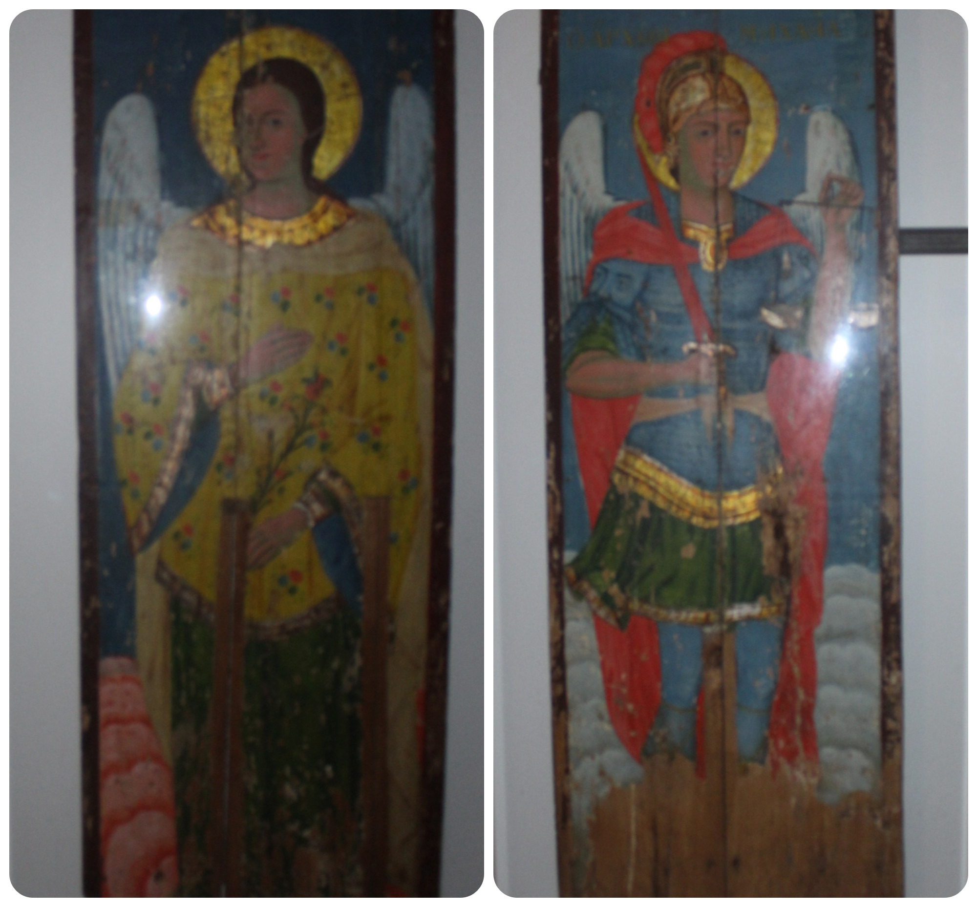
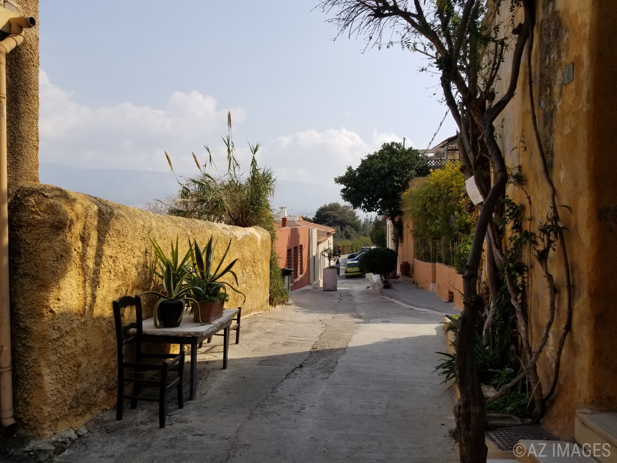
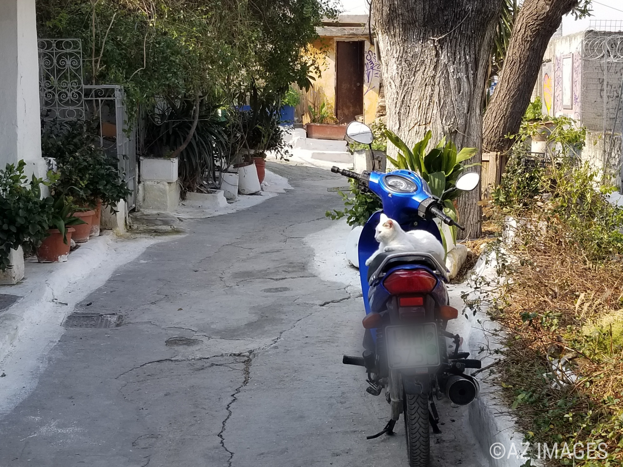
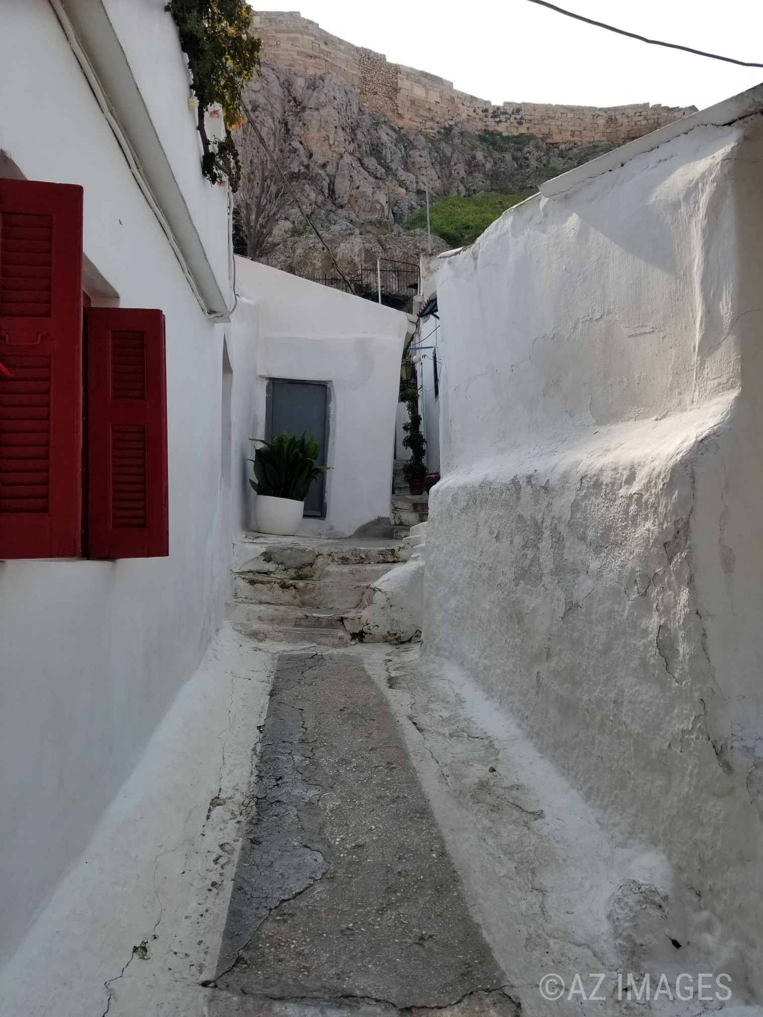
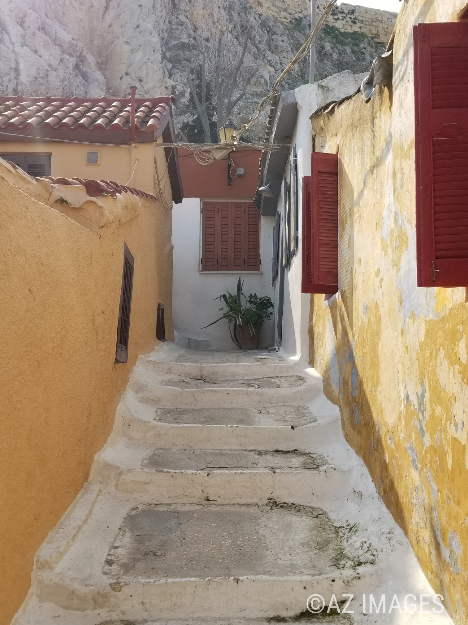
Anafiotika is a unique, and beautiful neighborhood on the northeast side of the Acropolis hill. The architectural style of the homes are similar to the ones in the Cycladic islands in Greece. This is due to the fact that in the 19th century, constructions workers were brought in from the Cycladic island of Anafi by King Otto to renovate the kings’ palace in Athens. Their building skills were renowned and very much in demand. The workers built the small-cubed homes and named their new neighbourhood ‘Anafi’ after their beloved island.

The Anafiotika homes were built illegaly and still are illegal, so none of them can be passed down to family members. This is why many have been abandoned. Some have been demolished in the 1930’s due to archaeological excavations. Today, there are only forty-five houses left in the neighbourhood.

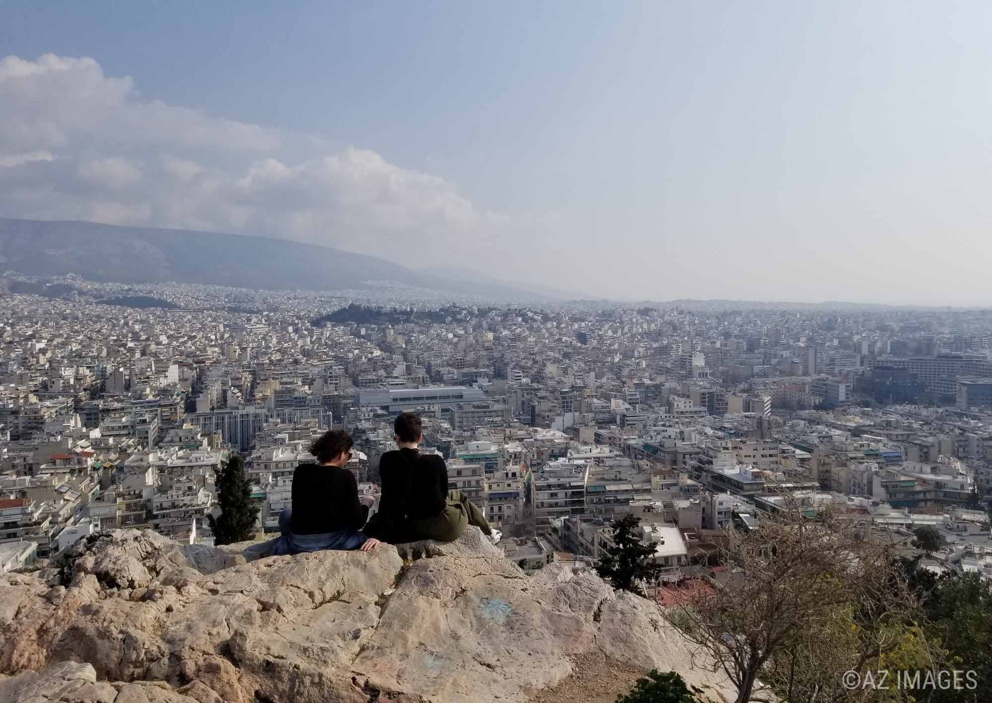
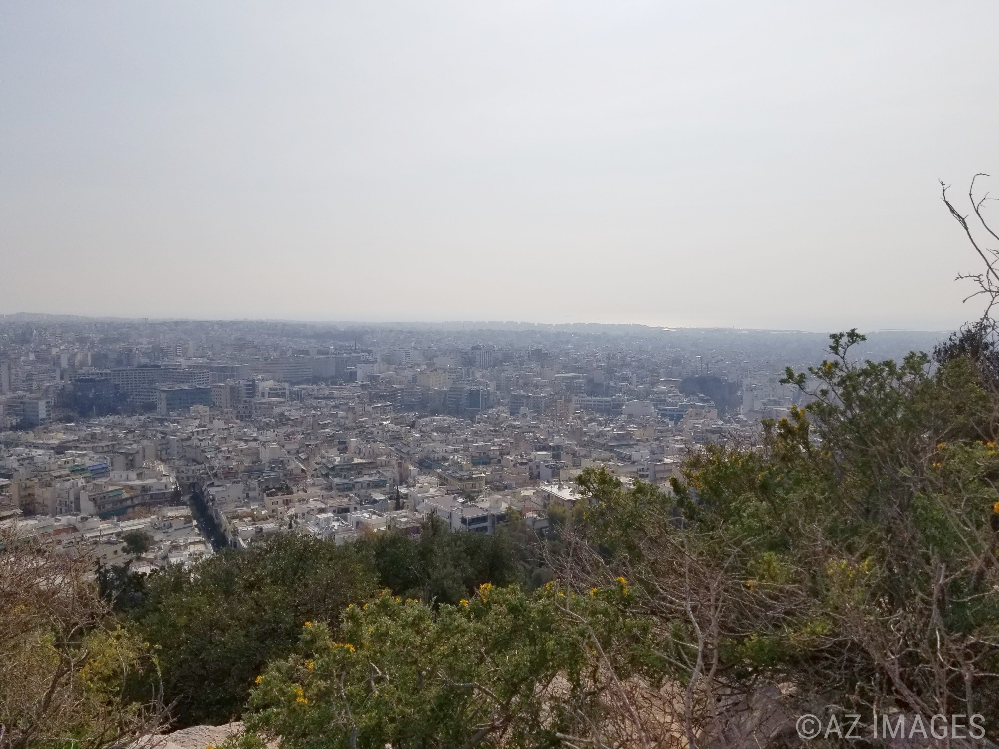
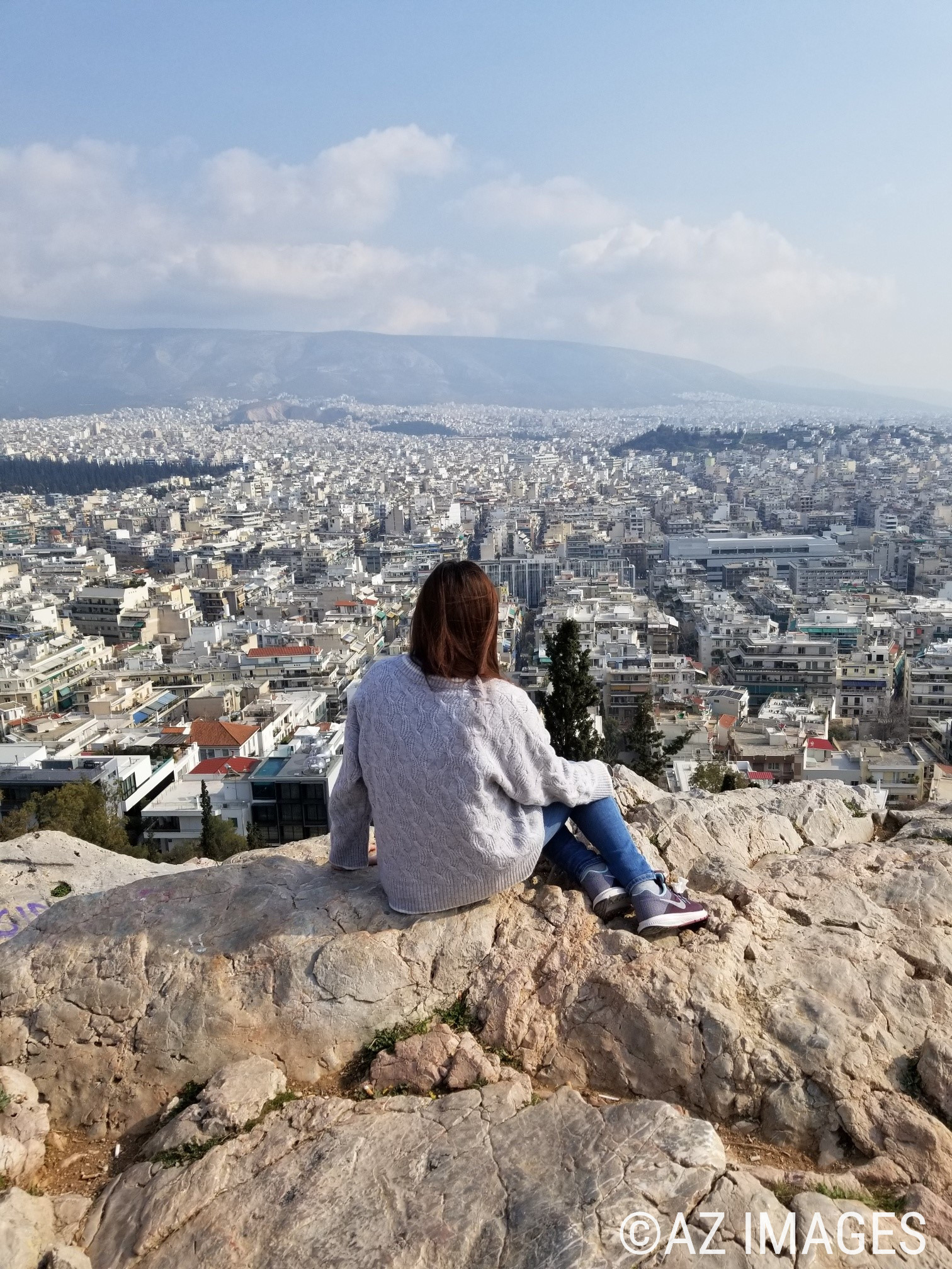
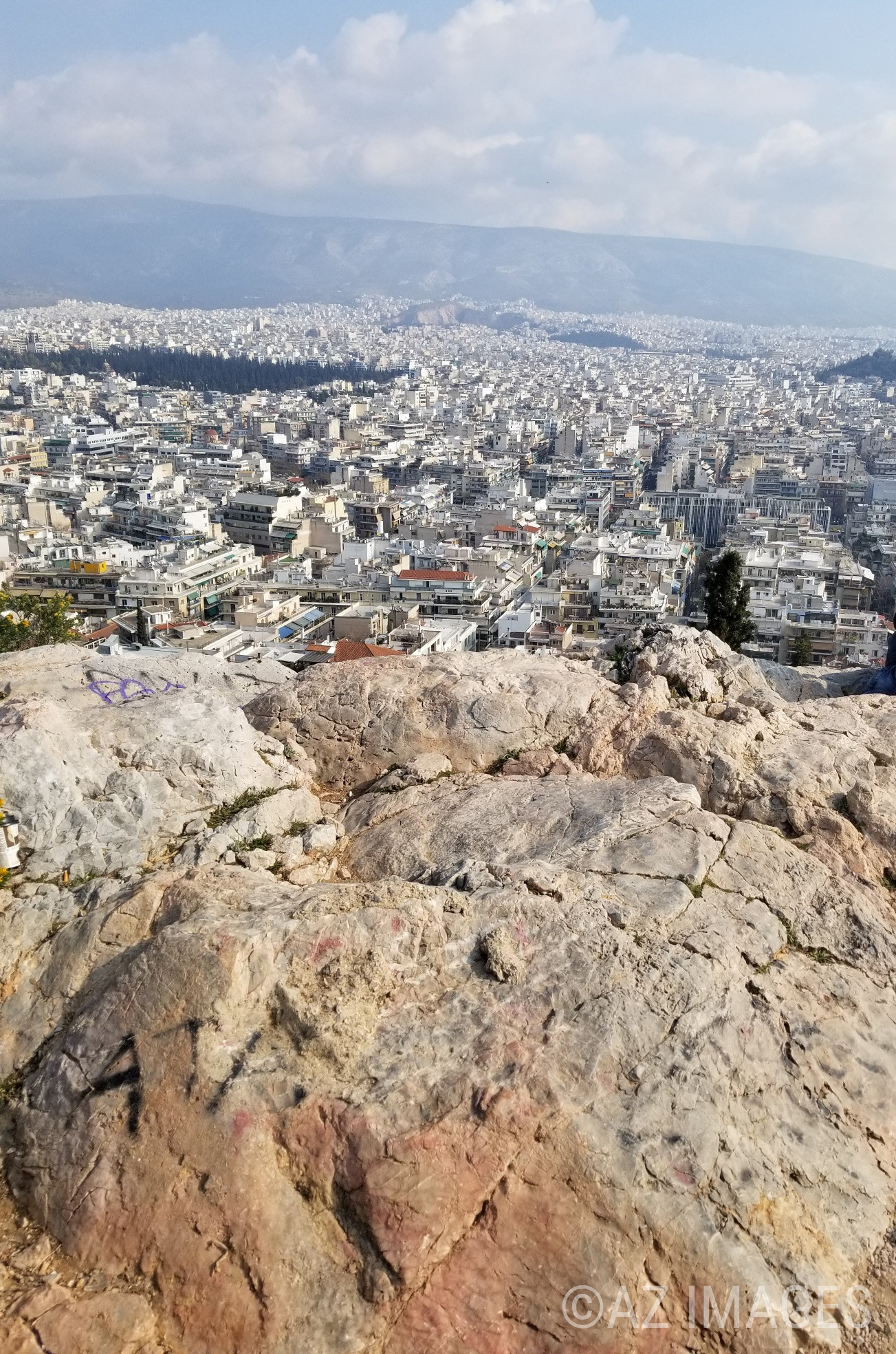
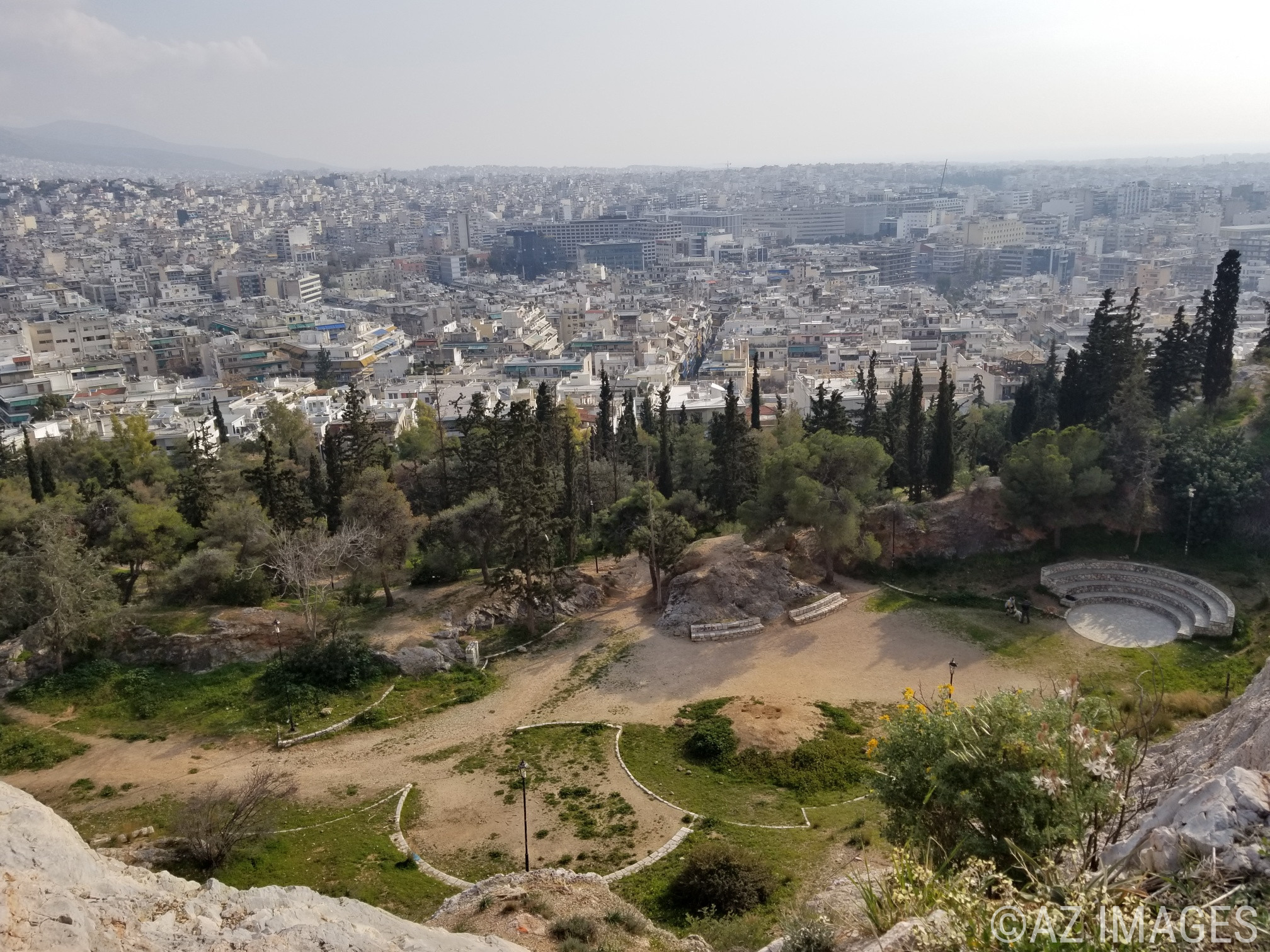
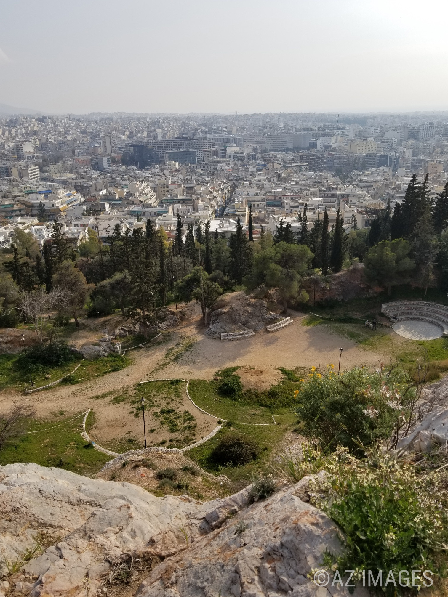
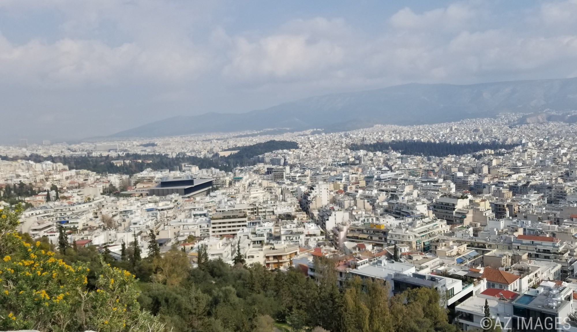
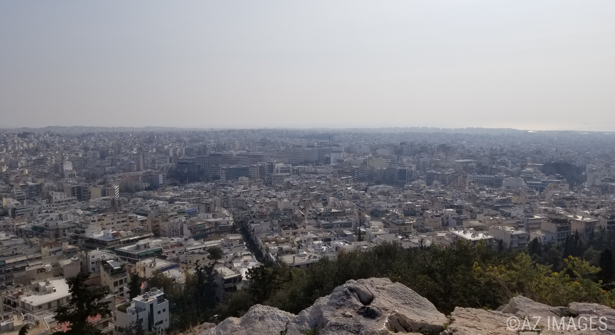
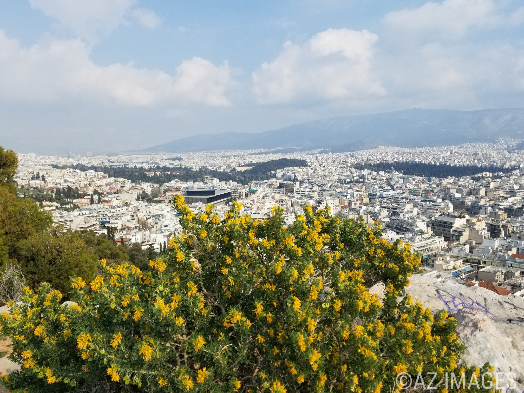
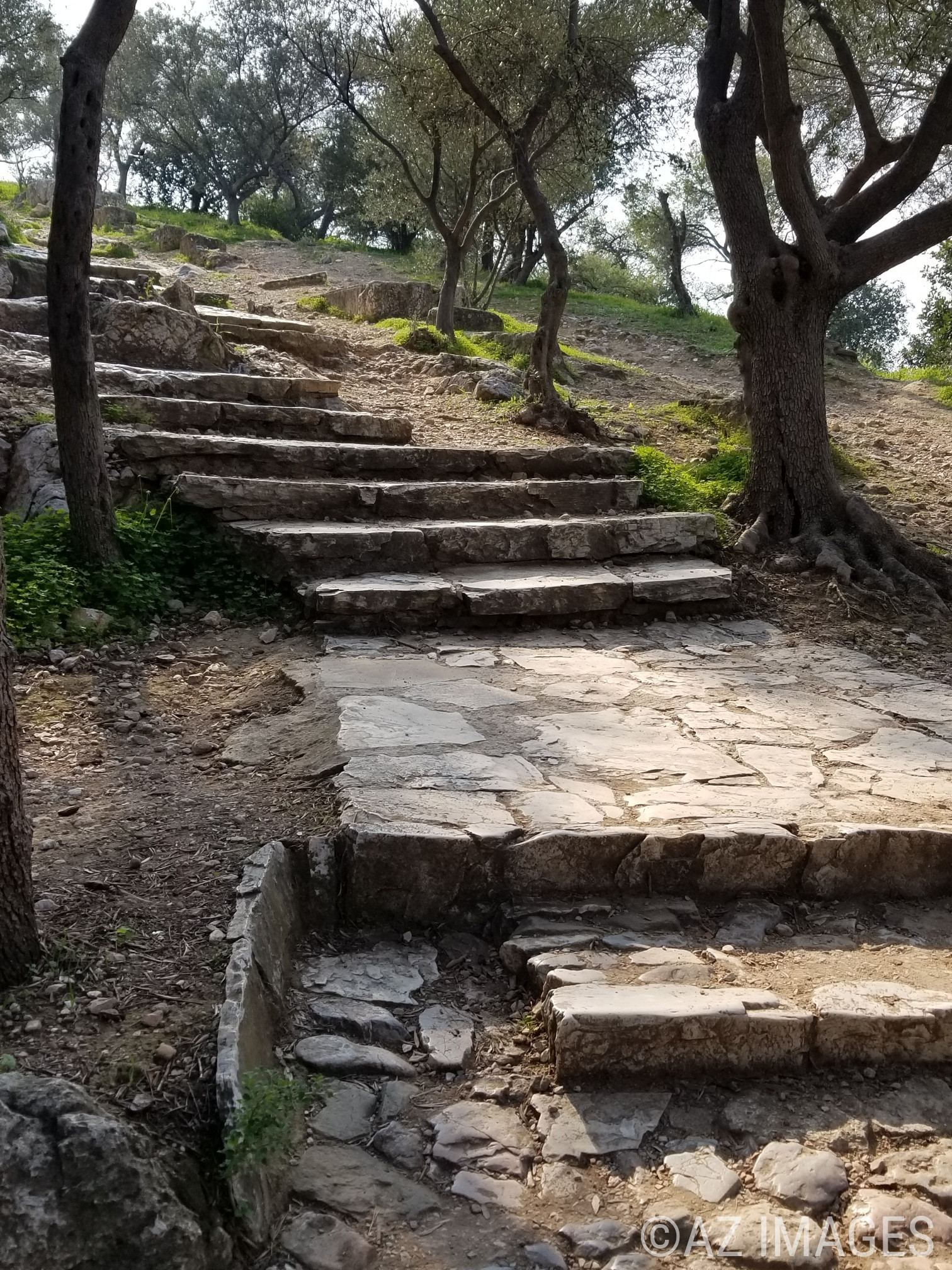
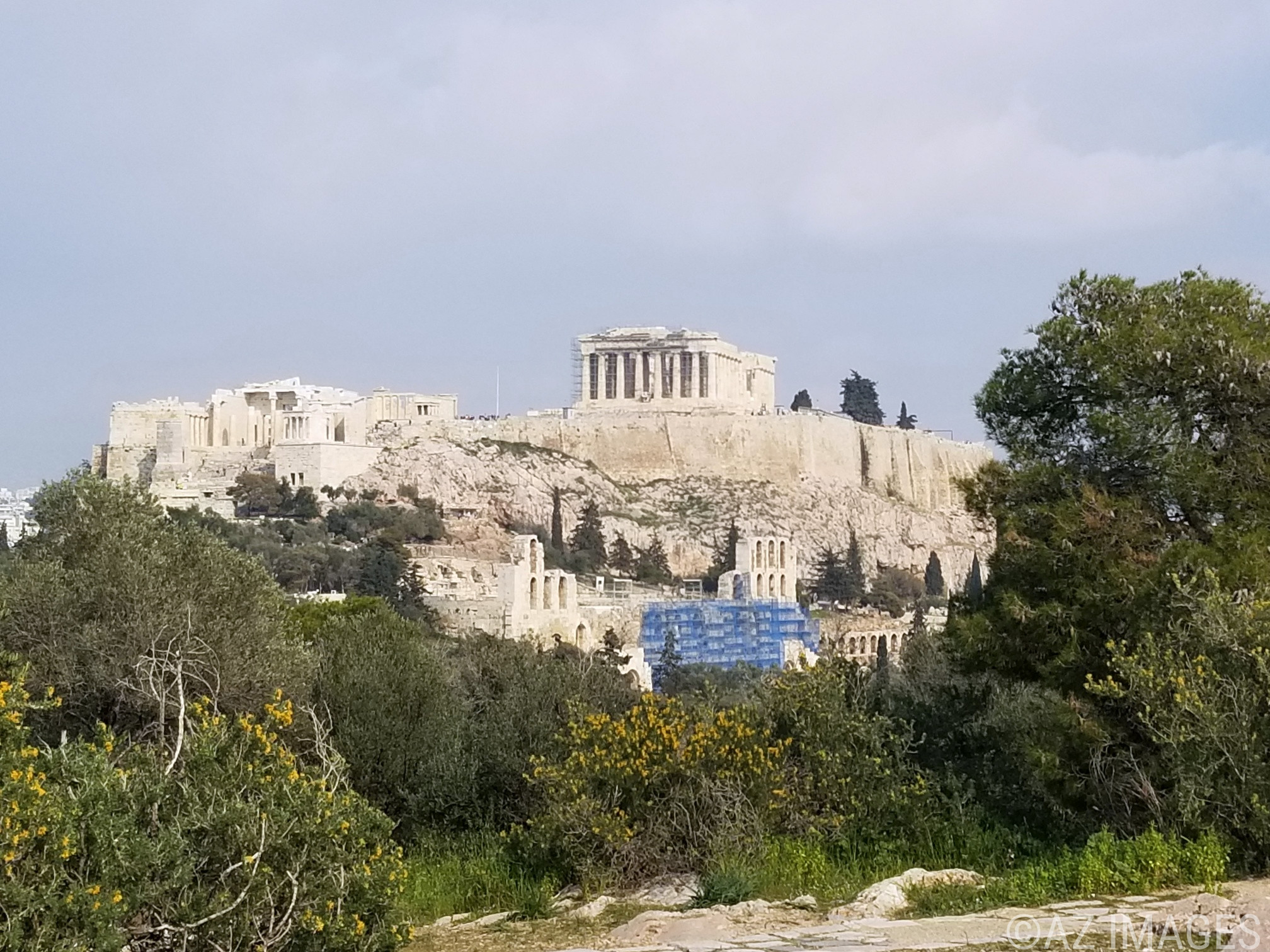
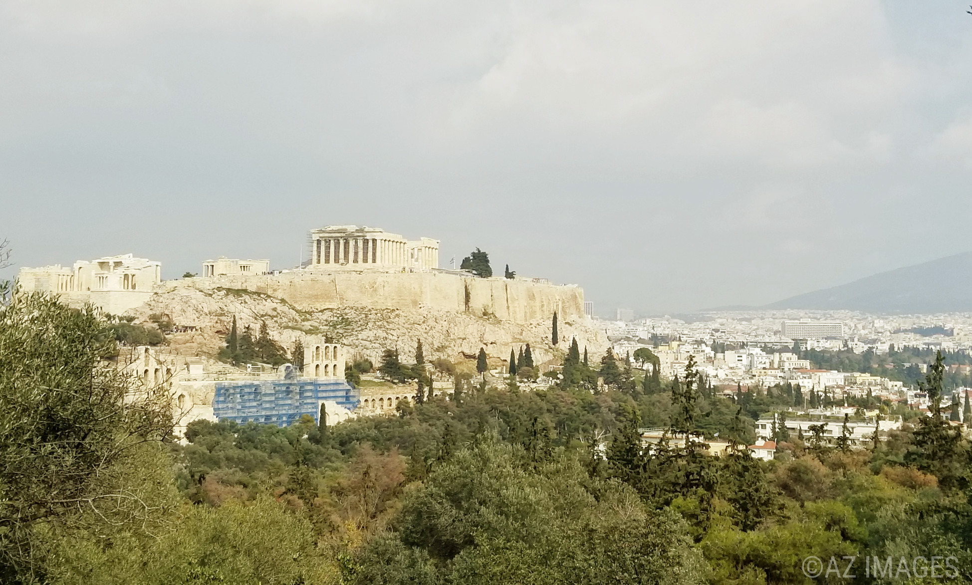
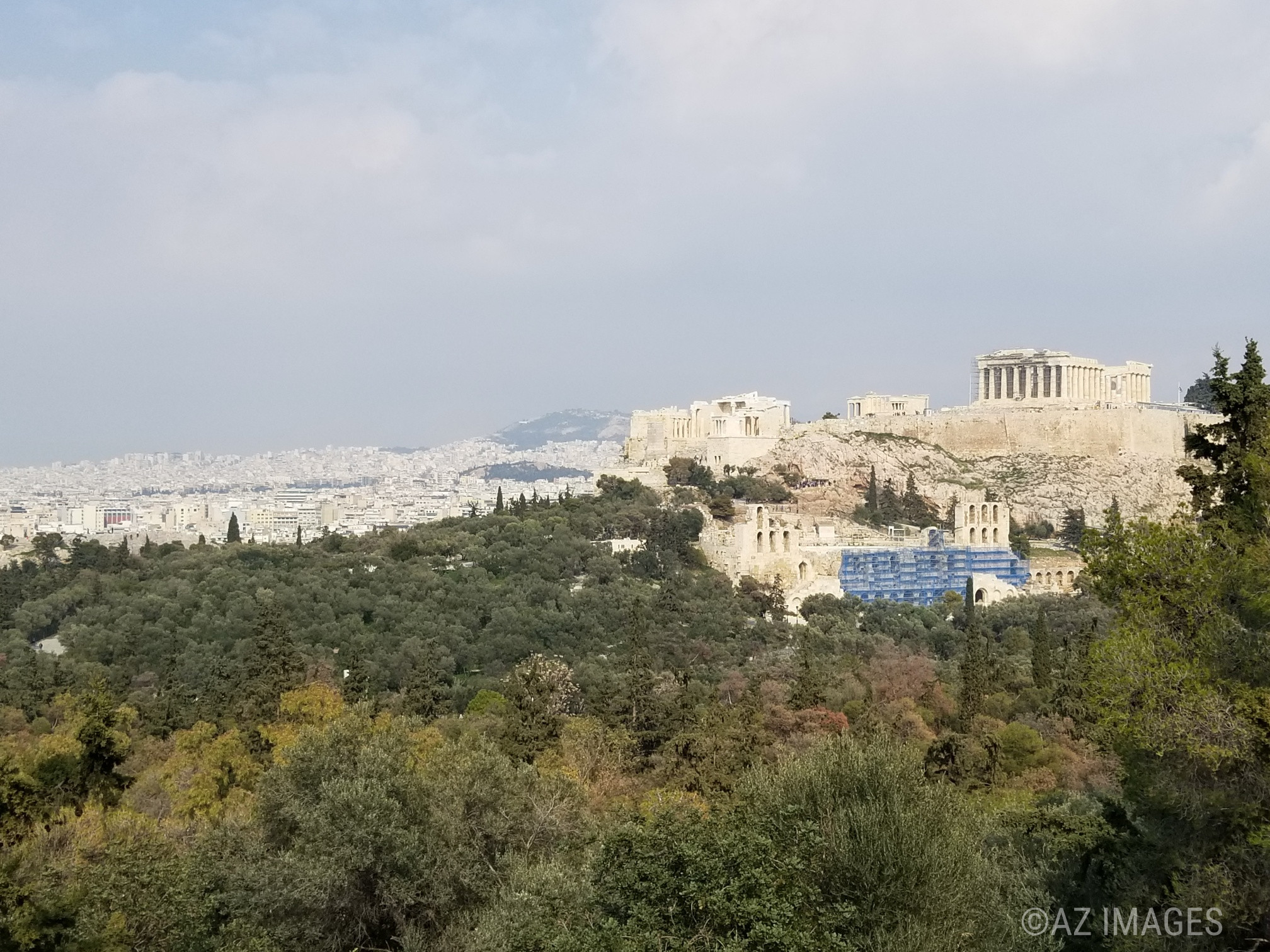
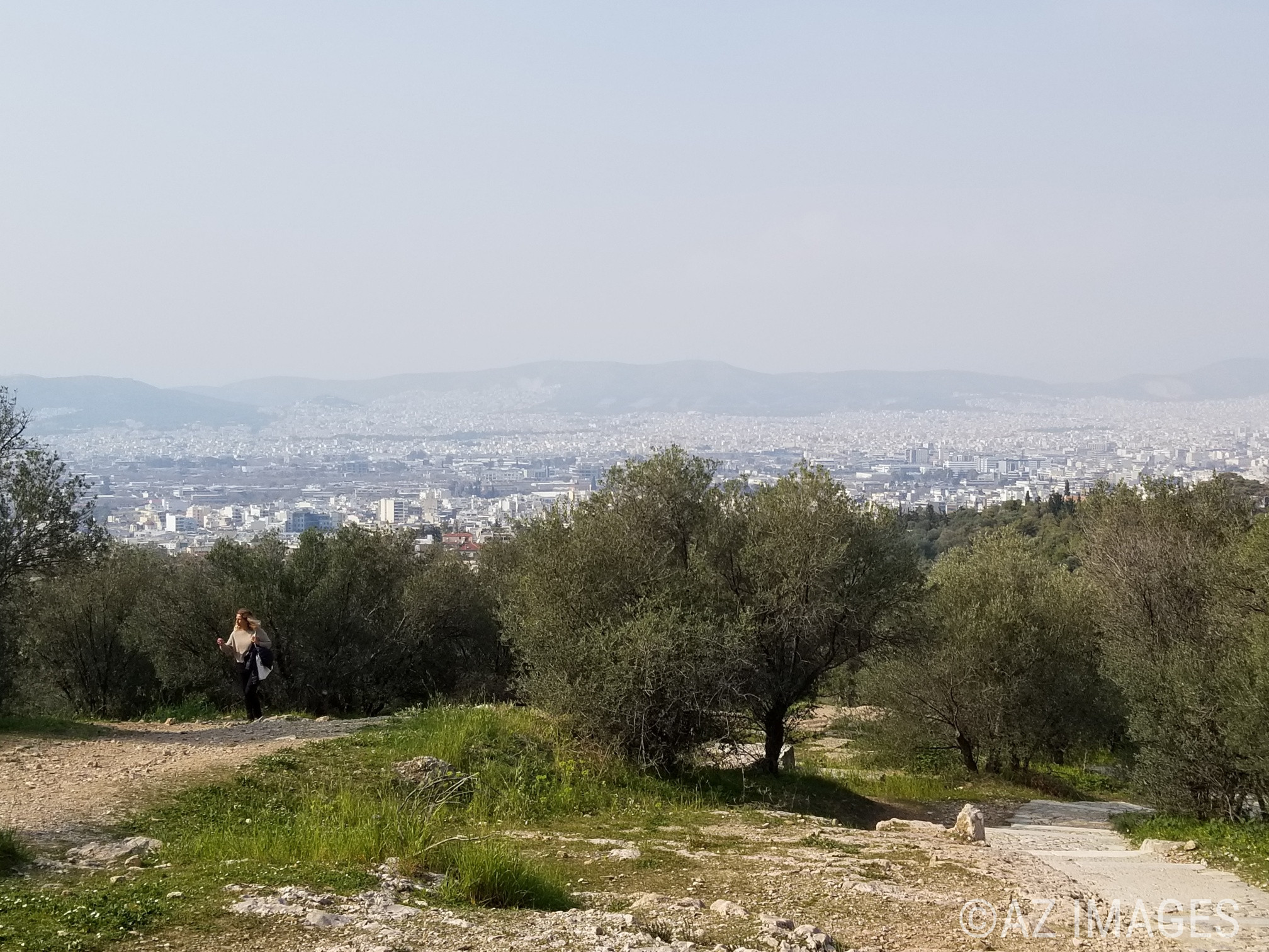
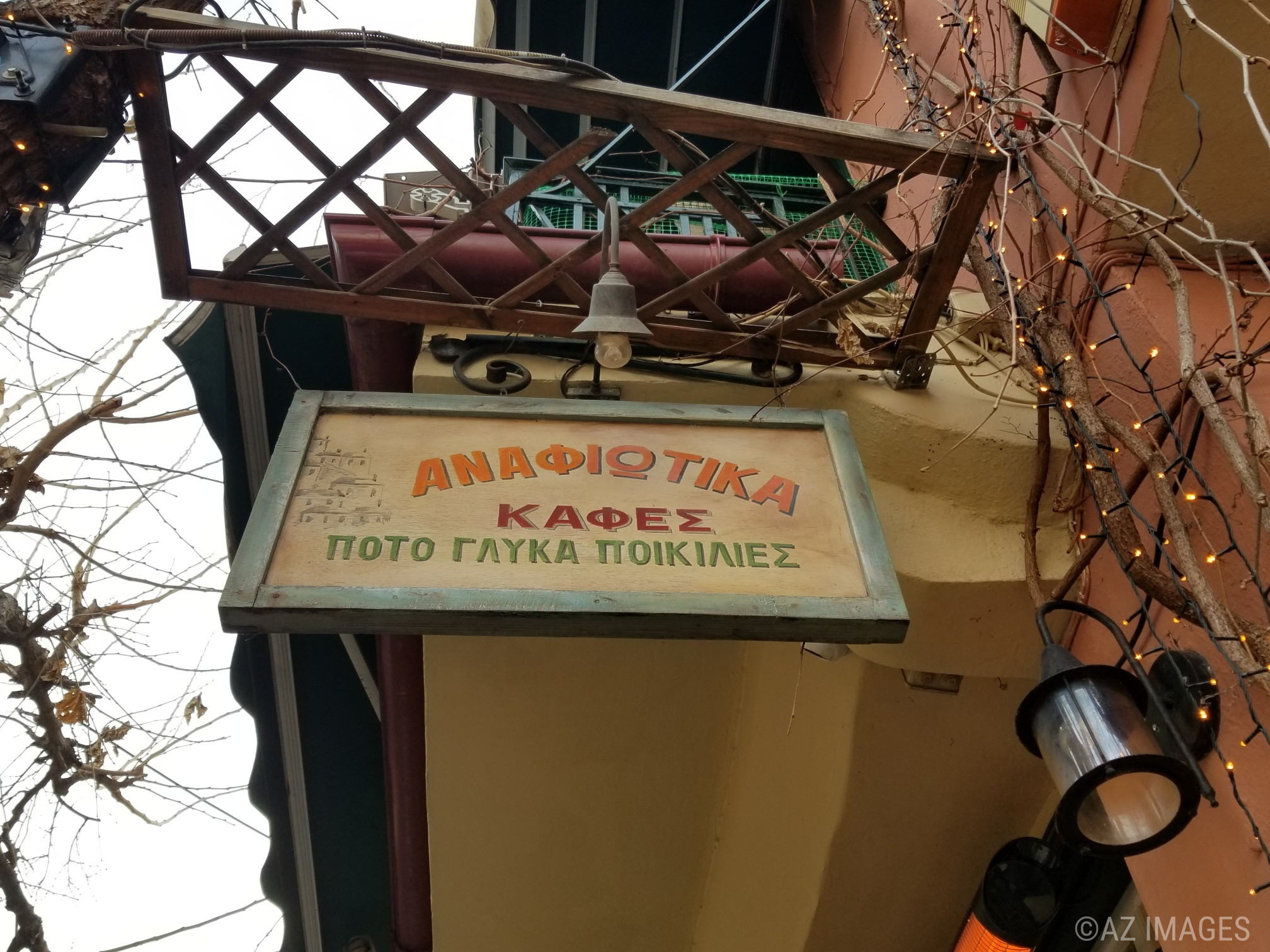
The neighbourhood definitely has an ‘island feel’ to it. There were a lot less tourists here as there are so many things to and see in and around the area of the Acropolis that it is easy to neglect this part of the hill. However, it is well-worth the visit.

Τα Αναφιώτικα είναι μια μοναδική και όμορφη γειτονιά στη βορειοανατολική πλευρά του λόφου της Ακρόπολης. Το αρχιτεκτονικό στυλ των σπιτιών είναι παρόμοιο με αυτό των Κυκλάδων στην Ελλάδα. Αυτό οφείλεται στο γεγονός ότι τον 19ο αιώνα, εργάτες οικοδομής προσήλθαν από το κυκλαδίτικο νησί Ανάφη από τον βασιλιά Όθωνα για να ανακαινίσουν το παλάτι των βασιλέων στην Αθήνα. Οι κατασκευαστικές τους ικανότητες ήταν γνωστές και με μεγάλη ζήτηση. Οι εργάτες έχτισαν τα σπίτια σε μικρούς κύβους και ονόμασαν τη νέα τους γειτονιά «Ανάφη» από το αγαπημένο τους νησί.

Τα Αναφιώτικα σπίτια χτίστηκαν παράνομα και εξακολουθούν να είναι παράνομα, οπότε κανένα από αυτά δεν μπορεί να περάσει στα μέλη της οικογένειας. Αυτός είναι ο λόγος που πολλοί έχουν εγκαταλειφθεί. Ορισμένα έχουν κατεδαφιστεί τη δεκαετία του 1930 λόγω αρχαιολογικών ανασκαφών. Σήμερα, έχουν απομείνει μόνο σαράντα πέντε σπίτια στη γειτονιά.

Η γειτονιά έχει σίγουρα μια «νησιωτική αίσθηση». Υπήρχαν πολύ λιγότεροι τουρίστες εδώ, καθώς υπάρχουν τόσα πολλά πράγματα για να δείτε και να δείτε μέσα και γύρω από την περιοχή της Ακρόπολης που είναι εύκολο να παραμελήσετε αυτό το μέρος του λόφου. Ωστόσο, αξίζει μια επίσκεψη.

Philopapos Hill/Ο Λόφος Φιλοπάππου

The monument dedicated to exiled Roman Prince Gaius Julius Antichus Philopappos of Commagene

This was my first time hiking up Philiopappos hill in Athens. It’s odd that this was my first time up there as I have been to the nearby sites many times.

The hill is located at the south west of the Acropolis. In 115 AD, a monument dedicated to the exiled Roman Prince Gaius Julius Antichus Philopappos of Commagene (a region in ancient Armenia) was erected on top of the hill. After his exile, Philopappos was settled in Athens, became an Athenian citizen and held religious and civil offices. Philopappos Hill is also called the Hill of Muses because it is home to a sanctuary dedicated to the 6th-century BC poet and prophet and mystical seer, Musaios. According to Greek geographer Pausanias the poet is buried there at the site of the monument. The park covers an area of 700 square km and the highest point of the hill reaches an elevation of 147 meters.

It is a bit of a hike up, but once at the top the incredible scenery of Athens and Piraeus is very rewarding. It’s best to visit during the day. There are a lot less people, and it’s less dangerous.

The pictures capture the calm before the storm, as these photographs were taken in the month of February. Just four days before the tragic train accident in Northern Greece that left the whole country in mourning throughout the month of March. The month ofMarch was filled with angry protests over the train accident.

Αυτή ήταν η πρώτη μου φορά που ανέβαινα στον λόφο του Φιλοπάππου στην Αθήνα. Είναι περίεργο που αυτή ήταν η πρώτη μου φορά εκεί, καθώς έχω πάει πολλές φορές στις κοντινές τοποθεσίες.

Ο λόφος βρίσκεται στα νοτιοδυτικά της Ακρόπολης. Το 115 μ.Χ., ένα μνημείο αφιερωμένο στον εξόριστο Ρωμαίο πρίγκιπα Γάιο Ιούλιο Αντίχο Φιλοπάππο της Κομμαγηνής (περιοχή στην αρχαία Αρμενία) ανεγέρθηκε στην κορυφή του λόφου. Μετά την εξορία του, ο Φιλοπάππος εγκαταστάθηκε στην Αθήνα, έγινε Αθηναίος πολίτης και κατείχε θρησκευτικά και πολιτικά αξιώματα.

Ο λόφος του Φιλοπάππου ονομάζεται επίσης Λόφος των Μουσών επειδή φιλοξενεί ένα ιερό αφιερωμένο στον ποιητή και προφήτη και μυστικιστή μάντη του 6ου αιώνα π.Χ., Μουσάιο. Σύμφωνα με τον Έλληνα γεωγράφο Παυσανία, ο ποιητής είναι θαμμένος εκεί στη θέση του μνημείου. Το πάρκο καλύπτει μια έκταση 700 τετραγωνικών χιλιομέτρων και το υψηλότερο σημείο του λόφου φτάνει σε υψόμετρο 147 μέτρων.

Είναι λίγο πεζοπορία, αλλά μια φορά στην κορυφή το απίστευτο τοπίο της Αθήνας και του Πειραιά είναι πολύ ικανοποιητικό. Είναι καλύτερο να το επισκεφτείτε κατά τη διάρκεια της ημέρας. Υπάρχουν πολύ λιγότεροι άνθρωποι και είναι λιγότερο επικίνδυνο.

Οι φωτογραφίες αποτυπώνουν την ηρεμία πριν από την καταιγίδα, καθώς αυτές οι φωτογραφίες τραβήχτηκαν τον Φεβρουάριο. Τέσσερις μόλις ημέρες πριν από το τραγικό σιδηροδρομικό δυστύχημα στη Βόρεια Ελλάδα που άφησε στο πένθος όλη τη χώρα όλο τον Μάρτιο. Ο μήνας Μάρτιος ήταν γεμάτος οργισμένες διαμαρτυρίες για το σιδηροδρομικό δυστύχημα.

On the way up..

Ancient underground dwellings at the Acropolis Museum.
Statue of the late great opera singer Maria Callas

Socrate’s prison. I made a post about it a while back.

On the way up the Philopappos Hill on a semi-cloudy day in February in Athens.

Dionysos Areopagitou road, near the Acropolis station, is the most beautiful and historically significant road in Athens. It is about 830 meters with so much to see and explore. The Acropolis museum and Parthenon temple can all be found on the cobble stone street.

The street was named in 1884. It was named after the Athenian parliament member Dionysos, who along with his wife were one of the first to convert to Chritianity after Apostole Paul visited Athens in the year 50 A.D. He was Bishop of the city of Athens and was canonized after his martyrdom, by fire, during the reign of Domitian. He is the patron saint of the city and patron of the judiciary and his memory is celebrated on October 3rd.

Then there is a hike up to the Philopappos Hill which offers exquiste views of the city as well as the Acropolis.

Meteora Pt2

The bridge to the entrance of the monastery of St. Stephan

Holy Meteora is a protected archaeological site and is enlisted in the European network Natura 2000 for its wild birds.

In 1988, the Meteora monasteries were included in the UNESCO World Heritage List. Its entrance was due to its uniqueness, and its invaluable natural, architectural, religious, and a cultural treasure.

Out of the 25 monasteries constructed there during the Byzantine times, only 6 are still operating and are open to the public. There are monks and nuns that reside in the monasteries.

The first monks in the area were cave-dwelling ascetics and they began to come here as early as the 11th century. The peaks of the steep, God-created rocks, became a heavenly invitation for high ascetic spritual and divine ascent.

I visited the St Stephen monastery which was inhabited by monks in the late 12th century. The monastery is located at the southern edge of Meteora and offers spectacular views of the town of Kalambaka below. There is a small stone bridge that connects the modern street to the monastery. Right and left of the entrance are developed cells of the monastery. In the eastern part of the yard is the hestia, a small square domed building, the stables and other auxiliary rooms of the monastery.

Το 1988, τα μοναστήρια των Μετεώρων συμπεριλήφθηκαν στον Κατάλογο Παγκόσμιας Κληρονομιάς της UNESCO. Η είσοδός του οφειλόταν στη μοναδικότητά του και στον ανεκτίμητο φυσικό, αρχιτεκτονικό, θρησκευτικό και πολιτιστικό θησαυρό του.

Τα Ιερά Μετέωρα είναι ένας προστατευόμενος αρχαιολογικός χώρος και είναι εγγεγραμμένος στο ευρωπαϊκό δίκτυο Natura 2000 για τα άγρια πτηνά του.

Οι πρώτοι μοναχοί στην περιοχή ήταν ασκητές σπηλαίων και άρχισαν να έρχονται εδώ ήδη από τον 11ο αιώνα. Οι κορυφές των απόκρημνων, θεόπλαστων βράχων, έγιναν ουράνιο προσκλητήριο για υψηλή ασκητική πνευματική και θεϊκή ανάβαση.

Επισκέφτηκα το μοναστήρι του Αγίου Στεφάνου που κατοικήθηκε από μοναχούς στα τέλη του 12ου αιώνα. Το μοναστήρι βρίσκεται στο νότιο άκρο των Μετεώρων και προσφέρει εκπληκτική θέα στην πόλη της Καλαμπάκας από κάτω. Υπάρχει ένα μικρό πέτρινο γεφύρι που συνδέει τον σύγχρονο δρόμο με το μοναστήρι. Δεξιά και αριστερά της εισόδου αναπτύσσονται κελιά της μονής. Στο ανατολικό τμήμα της αυλής βρίσκεται η χέστια, ένα μικρό τετράγωνο θολωτό κτίσμα, οι στάβλοι και άλλοι βοηθητικοί χώροι της μονής.

Meteora Part 1

Majestic, and miraculous Meteora. The landscape of this place is jaw-dropping!

The Holy Meteora is the second most visited place in Greece after the Parthenon in Athens. It is located in the northern region of Greece, Thessaly near the beautiful town of Kalambaka. It is the second most important Holy place in Greece after Mount Athos.

The name ‘meteora’ means suspended in the air. Many travelers also visit it to hike or rock-climb, two of the most popular things to do there.

The probable account for the formation of the rocks at meteora is that it is the result of a cone-shaped delta, that is a mass of rocks, sand and sediment carried by a river and deposited in the ancient lake of Thessaly. Twenty-five million years ago this river entered the sea near present-day Kalambaka when the water mass found an outlet in the Aegean sea, following the separation of Mount Olympus and Mount Ossa the cone-shaped delta that had accumulated was eroded by earthquakes, wind and heavy rainfall and split to form hills and rocks of different shapes.

Μεγαλειώδη, και θαυματουργός Μετέωρα! Το τοπίο αυτού του τόπου είναι εντυπωσιακό!

Τα Ιερά Μετέωρα είναι το δεύτερο πιο επισκέψιμο μέρος στην Ελλάδα μετά τον Παρθενώνα στην Αθήνα. Βρίσκεται στη βόρεια περιοχή της Ελλάδας, τη Θεσσαλία κοντά στην όμορφη πόλη της Καλαμπάκας. Είναι ο δεύτερος σημαντικότερος Ιερός τόπος στην Ελλάδα μετά το Άγιο Όρος.

Το όνομα «μετέωρα» σημαίνει αιωρούμενος στον αέρα. Πολλοί ταξιδιώτες το επισκέπτονται επίσης για πεζοπορία ή αναρρίχηση, δύο από τα πιο δημοφιλή πράγματα που μπορείτε να κάνετε εκεί.

Η πιθανή αιτία για το σχηματισμό των πετρωμάτων στα μετέωρα είναι ότι είναι το αποτέλεσμα ενός δέλτα σε σχήμα κώνου, δηλαδή μια μάζα από πετρώματα, άμμο και ιζήματα που μεταφέρονται από ένα ποτάμι και εναποτίθενται στην αρχαία λίμνη της Θεσσαλίας. Πριν από είκοσι πέντε εκατομμύρια χρόνια, αυτός ο ποταμός εισήλθε στη θάλασσα κοντά στη σημερινή Καλαμπάκα, όταν η υδάτινη μάζα βρήκε διέξοδο στο Αιγαίο πέλαγος, μετά το διαχωρισμό του Ολύμπου και του Όσσας, το δέλτα σε σχήμα κώνου που είχε συσσωρευτεί διαβρώθηκε από τους σεισμούς. άνεμος και έντονες βροχοπτώσεις και χωρίζονται για να σχηματίσουν λόφους και βράχους διαφορετικών σχημάτων.

Pertouli Ski Resort/Περτουλι Χιονοδρομικό Κέντρο

A quick stop at the ski resort Pertouli. No skiing for me; I just wanted to check it out, and to take some pictures of.. course ;),

Pertouli is a small mountain town that is part of the province of Trikala in Central Greece. The ski resort is forty-five minutes from the city of Trikala which makes the resort easily accessible.

It’s not a huge ski resort it is 1.150 m in height, and the nearby village has under 100 inhabitants.

Μια γρήγορη στάση στο χιονοδρομικό Περτούλι. Δεν κάνω σκι, απλώς ήθελα να το τσεκάρω και να βγάλω μερικές φωτογραφίες, φυσικά 😉

Το Περτούλι είναι μια μικρή ορεινή κωμόπολη που ανήκει στην επαρχία Τρικάλων της Στερεάς Ελλάδας. Το χιονοδρομικό κέντρο απέχει σαράντα πέντε λεπτά από την πόλη των Τρικάλων που κάνει το θέρετρο εύκολα προσβάσιμο.

Δεν είναι ένα τεράστιο χιονοδρομικό κέντρο, έχει ύψος 1.150 μ. και το κοντινό χωριό έχει λιγότερους από 100 κατοίκους

ΠΥΛΗ/PYLI

Pyli is a beautiful, enchanting town 18 km from the city of Trikala in Thessaly. It is located at the foot of the Koziakas and Itamos mountains. An opening is formed between them, a natural gate, passage from the Thessalian plain to South Pindos. The town has taken its name from here as ‘Pyli’ (Pee-lee) means ‘gate’.

The bridge in the photographs is called ‘the bridge of Aghios (Saint) Vissarios’. It is the oldest bridge in the town of Pyli. The single-arched bridge was built in 1514, and is a a symbol of the town.

There is a nice cafe here and many tourist infrastructures such as hotels and restaurants and souvenir shops. The local inhabitants work in the agriculture, animal husbandry and tourism sectors.

It is a nice place to stop on the way to the moutain village of Elati and the ski town of Pertouli, where I will be positing about next.

Η Πύλη είναι μια όμορφη, μαγευτική κωμόπολη 18 χλμ. από την πόλη των Τρικάλων της Θεσσαλίας. Βρίσκεται στους πρόποδες των βουνών Κόζιακας και Ίταμου. Ανάμεσά τους σχηματίζεται ένα άνοιγμα, μια φυσική πύλη, πέρασμα από τον θεσσαλικό κάμπο προς τη Νότια Πίνδο. Η πόλη πήρε το όνομά της από εδώ.

Το γεφύρι στις φωτογραφίες ονομάζεται «γεφύρι του Αγίου Βησσαρίου». Είναι το παλαιότερο γεφύρι της πόλης της Πύλης. Το μονότοξο γεφύρι χτίστηκε το 1514 και αποτελεί σύμβολο της πόλης.

Υπάρχει ένα ωραίο καφέ εδώ και πολλές τουριστικές υποδομές όπως ξενοδοχεία και εστιατόρια και καταστήματα με σουβενίρ. Οι κάτοικοι της περιοχής εργάζονται στους τομείς της γεωργίας, της κτηνοτροφίας και του τουρισμού.

Είναι ένα ωραίο μέρος για να σταματήσετε στο δρόμο προς το ορεινό χωριό της Ελάτης και τη χιονοδρομική πόλη του Περτουλίου,

Elati/ Ελάτη

A small market place where wreaths are sold.

Elati is a beautiful, cosmopolitan village built on the southwestern slops of Mt. Kozakias on the easternmost part of the Pindus mountain range. It is built at an altitude of 950m. There are 950 inhabitants.

It is surrounded by dense forest, and the town has some very unique looking tavernas and cafes.

The town one of the most popular mountain resorts in Greece, and I could see why. I really loved this place and would visit again.

Η Ελάτη είναι ένα όμορφο, κοσμοπολίτικο χωριό χτισμένο στις νοτιοδυτικές πλαγιές του όρους Κοζακιάς, στο ανατολικότερο τμήμα της οροσειράς της Πίνδου σε υψόμετρο 950μ. Έχει 950 κατοίκους.

Περιβάλλεται από πυκνό δάσος και η πόλη έχει μερικές ταβέρνες και καφετέριες με μοναδική εμφάνιση.

Η πόλη είναι ένα από τα πιο δημοφιλή ορεινά θέρετρα στην Ελλάδα, και κατάλαβα γιατί. Μου άρεσε πραγματικά αυτό το μέρος και θα το επισκεφτώ ξανά.

Trikala/Τρικαλα

Rainbow umbrellas decorate the one of the streets.

The statue of Asclepios-The God of medicine in ancient Greek religion and mythology.

The Lithaios River

The beautiful city of Trikala is located in northwestern Thessaly. It was built on the location of ancient Trikki. Trikki, in Greek mythology. is a nymph and the daughter of Pineios, a Thessalian river god.

The Lithaios river runs through the city. The river of ‘Lithi’ means“forgetfulness” in mythology. There are ten bridges that cross the river, the central one made of metal having been constructed by the French in 1886.

There are almost 82, 000 inhabitants. It is a progressive city in comparisson to Athens with its bike paths, and animal shelters. It is well-worth the visit.

Η όμορφη πόλη των Τρικάλων βρίσκεται στη βορειοδυτική Θεσσαλία. Χτίστηκε στη θέση της αρχαίας Τρίκκης. Τρίκκη, στην ελληνική μυθολογία. είναι νύμφη και κόρη του Πηνειού, Θεσσαλικής θεός του ποταμού.

Ο Ληθαίος ποταμός διασχίζει την πόλη. Το ποτάμι του «Λιθιού» σημαίνει «λήθη» στη μυθολογία. Υπάρχουν δέκα γέφυρες που διασχίζουν τον ποταμό, με την κεντρική από μέταλλο να έχει κατασκευαστεί από τους Γάλλους το 1886.

Υπάρχουν σχεδόν 82.000 κάτοικοι. Είναι μια προοδευτική πόλη σε σύγκριση με την Αθήνα με τους ποδηλατόδρομους και τα καταφύγια ζώων. Αξίζει την επίσκεψη.

Mega Spilaio Monastery/Ιερα Μονή Μεγάλου Σπηλαίου

The Monsastery is at at altitude of 940 meters. Built on top of rocks, it is an eight-story monastery.

The views from the monastery of the landscape below is breathtaking.

Τhe spot in the cave where the icon of the Virgin Mary was found.

The Archangels Michael and Garbriel

Another stop at Kalavryta was at the oldest monastery in Greece, the Mega Spilaio (Mega Cave). It is located 10 km from the town of Kalavryta. The landscape is beautiful, and it was built on the slope of Mount Helmos in 362 A.D by monks and brothers Simeon and Theodoros who were natives of Thessaloniki. Each of them had a vision, and they were ordered to travel from Jerusalem to Achaia (where Kalavryta is located) and find the icon of the Virgin Mary.

After wandering the brothers met a shepardess named Efrosini who led them to the cave where the icon located. The two monks took the icon out of the cave and cleaned the cave. Then a dragon jumped violently toward the exit and it was killed by thunderbolts.

Overtime, the monastery started to receive many pilgrims, and it flourished. As a result more levels were built.

The monastery played an important role in the revolution of 1821; and was an indispensable fortress against the Ottoman conquerors.

In December 1943, Nazi troops looted, burned the monastery and executed 16 people, visitors, subordinates and monks who threw them from a high cliff. However, the Monastery had already survived four devastating fires, in 840, 1400, 1640 and 1934. The icon of the Virgin, however, remained intact.

There is a room with many relics from the Byzantine era. Many icons from the 17th century, national costumes, the gosspel from the Byzantine era and the relics of Saints. Also, there is a rare banner with the figures of three Byzantine emperors,

Μια άλλη στάση στα Καλάβρυτα ήταν στο παλαιότερο μοναστήρι της Ελλάδας, το Μέγα Σπήλαιο. Βρίσκεται σε απόσταση 10 χιλιομέτρων από την πόλη των Καλαβρύτων. Το τοπίο είναι πανέμορφο και χτίστηκε στην πλαγιά του Χελμού το 362 μ.Χ. από μοναχούς και αδελφούς Συμεών και Θεόδωρο που κατάγονταν από τη Θεσσαλονίκη. Καθένας από αυτούς είχε ένα όραμα και διατάχθηκαν να ταξιδέψουν από τα Ιεροσόλυμα στην Αχαΐα και να βρουν την εικόνα της Παναγίας.

Μετά από περιπλάνηση τα αδέλφια συνάντησαν μια σέπαρδη ονόματι Ευφροσύνη η οποία τους οδήγησε στη σπηλιά όπου βρισκόταν η εικόνα. Οι δύο μοναχοί έβγαλαν την εικόνα από τη σπηλιά και καθάρισαν τη σπηλιά. Τότε ένας δράκος πήδηξε βίαια προς την έξοδο και σκοτώθηκε από κεραυνούς.

Με την πάροδο του χρόνου, το μοναστήρι άρχισε να δέχεται πολλούς προσκυνητές και άκμασε. Ως αποτέλεσμα χτίστηκαν περισσότερα επίπεδα.

Το μοναστήρι διαδραμάτισε σημαντικό ρόλο στην επανάσταση του 1821. και ήταν ένα απαραίτητο φρούριο εναντίον των Οθωμανών κατακτητών.

Τον Δεκέμβριο του 1943, τα ναζιστικά στρατεύματα λεηλάτησαν, έκαψαν το μοναστήρι και εκτέλεσαν 16 άτομα, επισκέπτες, υφισταμένους και μοναχούς που τους έριξαν από έναν ψηλό γκρεμό.

Ωστόσο, η Μονή είχε ήδη επιβιώσει από τέσσερις καταστροφικές πυρκαγιές, το 840, το 1400, το 1640 και το 1934. Η εικόνα της Παναγίας, όμως, παρέμεινε άθικτη.

Υπάρχει ένα δωμάτιο με πολλά κειμήλια από τη βυζαντινή εποχή. Πολλές εικόνες από τις εθνικές ενδυμασίες τον 17ο αιώνα, εθνικές ενδυμασίες, το κουτσομπολιό από τη βυζαντινή εποχή και τα λείψανα των Αγίων. Επίσης, υπάρχει ένα σπάνιο λάβαρο με τις μορφές τριών βυζαντινών αυτοκρατόρων,